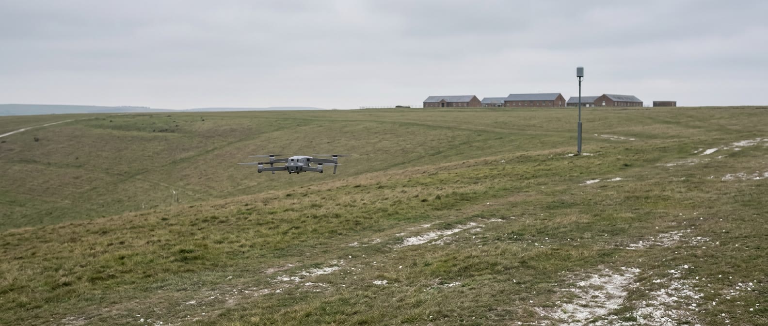
The British Army has switched on what the Ministry of Defence's innovation arm describes as the first passive counter-drone detection system at a British Army base, at the Warminster garrison in Wiltshire.
The account comes from a GOV.UK case study published on 14 September 2026 by UK Defence Innovation (UKDI), which funded the work on behalf of Army Innovation. It says the project, called Halo Shield, was "delivered in under six months" and was "initiated and driven by the British Army’s Experimentation and Trials Group (ETG)". The case study calls the result "a UK first for Army base protection".
Two UK suppliers provided the kit. Dedrone, which the case study says is now part of Axon, supplied radio frequency sensors and the software that pulls the different sensor feeds into one picture. Quell, which the case study describes as "designing and building passive, AI-enabled surveillance and C-UAS systems", supplied an optical system called SkySpyke.
What it recorded
The case study gives one set of operational figures. "In the first 17 days of live monitoring, the system recorded 29 drone position alerts with detections up to 5km away - none of which presented a threat to the base." It adds that the system "was also tested by Army flown drones seeking to expose any weaknesses".
The results, it says, "are already helping inform how defence thinks about drone detection, building a clear foundation for wider adoption across UK military sites".
How the two layers work
Dedrone's system uses three RF sensors to triangulate a drone's position across the garrison, with a fourth sensor handling recognition and identification of the drone and its controller. The case study says the company's software "can detect the signal between a drone and its operator, identifying both the aircraft and the pilot and displaying that information in real time". It puts Dedrone's footprint at more than 1,130 sites across 35 countries.
Nick McRobb, Dedrone's UK defence lead and a former Army colonel, is quoted on the timeline: "We moved quickly. The demonstration event took place in November 2025, and we did our on-site recce in January 2026. We were installed and operational a few months later by March 2026."
Quell's SkySpyke is the second layer. The case study says it "operates autonomously, providing complete hemispheric sky coverage, detecting, tracking, and identifying all airborne objects", with AI used to filter alerts and give visual confirmation of objects of interest.
Bobby Hamilton, Quell's chief operating officer, is quoted: "The drone threat is evolving, with a migration away from traditional RF-emitting capabilities. That’s where we can really add value. If a drone is present we will be able to see it and identify it, regardless of how it is communicating."
Both companies had worked with the ETG before, through field demonstrations and counter-drone exercises the case study names as Project Vanaheim and Project Flytrap. Quell's system had also been developed with earlier UKDI funding.
What comes next
The case study says future phases "may see more C-UAS solutions adopted across UK garrison sites, with radar capabilities and acoustic sensors added alongside existing RF and optical sensors".
Colonel James Howard of the Experimentation and Trials Group is quoted: "Working with UKDI and industry on this kind of dual use capability has been beneficial to all parties, making the British Army more safe from real, modern, threats while in its barracks as well as allowing the Experimentation and Trials Group to further develop the British Army’s counter drone capabilities."
McRobb's summary of the lesson: "What this project proves is that sensor fusion is the answer."
Why it matters to UK operators
The practical point for anyone flying commercially is what the system sees. The Dedrone layer is described as identifying the pilot as well as the aircraft, and the Quell layer as identifying an aircraft "regardless of how it is communicating". A drone near a site fitted with this kind of system should be assumed to be visible even if it is not using a conventional radio control link. Where it does use one, the position of the person flying it may be identifiable as well.
The case study also signals that this is intended to spread. It describes Warminster as the foundation for adoption across the wider defence estate, so operators who work near military sites elsewhere in the UK can expect similar detection to arrive over time.
What the source does not say
The case study describes both systems as passive and talks only about detecting, tracking and identifying. It says nothing about jamming, taking control of an aircraft, or any other response, and it does not say what happens once an alert is raised. It does not say whether any of the 29 alerts involved a lawful flight, what the airspace rules around the garrison are, or which other sites are in line for the next phase. It gives no cost for the project. UK Drone Directory has not seen any statement from Dedrone or Quell beyond the quotes in the case study.